|
|
|||||||||||||||||||||||
|
| ||||||||||||||||||||||
Guam |
|||||||||||||||||||||||
|
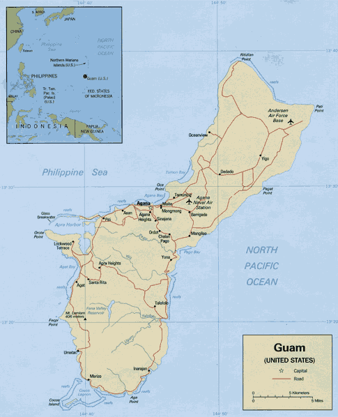
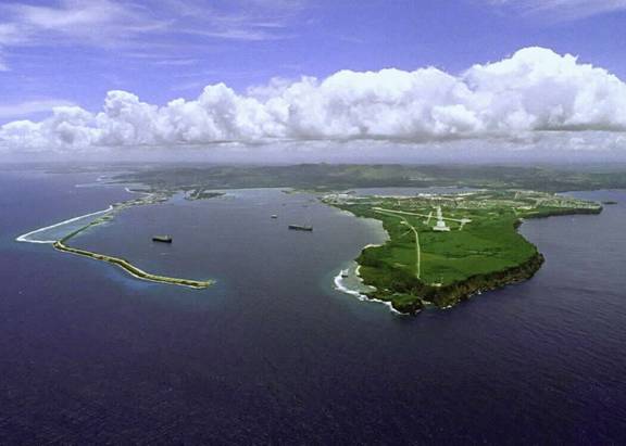
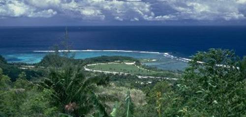
Guam is an island in the Western Pacific Ocean. It is the southermost island in the Mariana Island chain, and at a land mass of 209 square miles, it's the largest island in Micronesia. It has a population of around 175,000 people, and an average year round temperature between 76 °F (24 °C) and 86 °F (30 °C). The average rain fall on the island is 96 inches (2,180 mm).
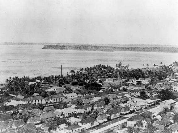
Guam has several villages and cities. The main city is Hagåtña (formerly Agana), which is also the island's capitol.
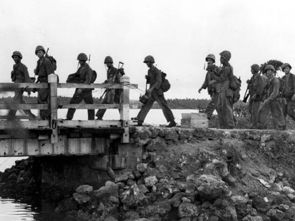
Guam has a large US Military presence, and the island's economy relies greatly upon the military personel and their dependants who live on the island.
US Military installations take up some 29% of the island's land. Anderson AFB in Yigo
|
|||||||||||||||||||||||
|
Oahu
* Maui
* "Big
Island" of Hawaii * Kauai
*
Molokai * Lanai
© 2007 - 2026 USTropics.com
- All rights reserved.
|
|||||||||||||||||||||||